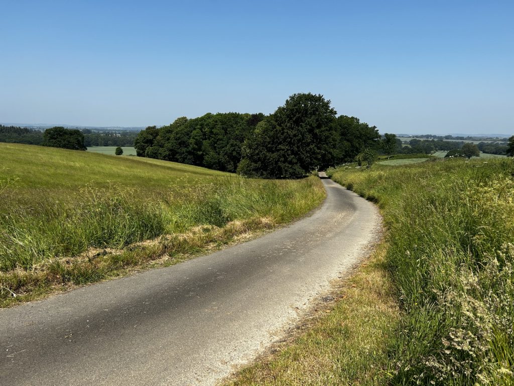
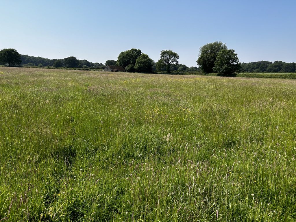
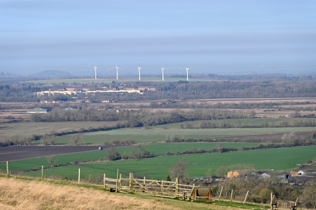
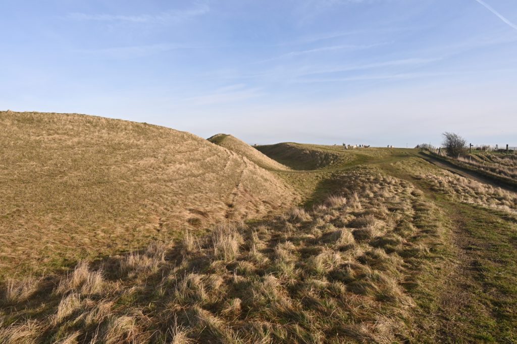
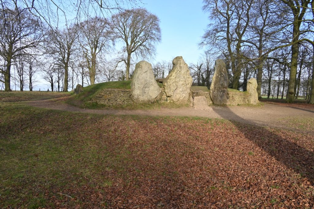
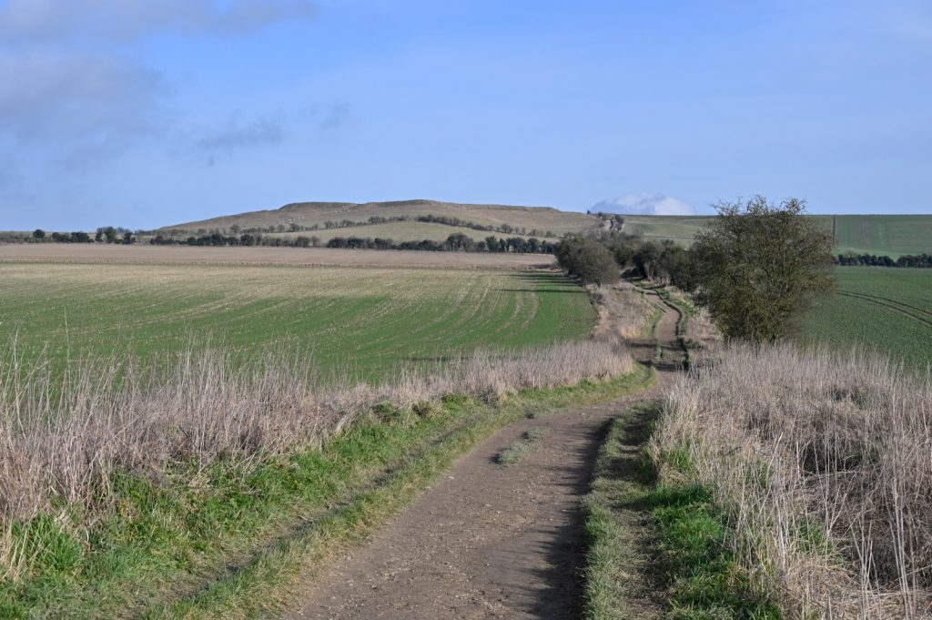
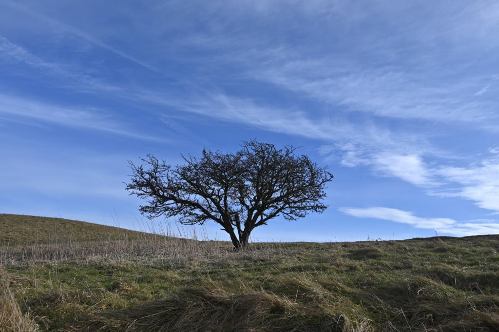
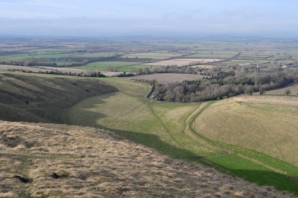
Tag Archives: route

Walking from Hooky

A few years ago the Local History Group revised the walks booklet that had been on sale for a number of years. The number of walks was increased from 4 to 8 and covered the footpaths in most directions from the village.

From time to time I have been walking these routes making sure that they are still marked clearly with little or no obstructions. Sometimes I take bits of several of the walks and combine them to make it more interesting for me. Today was a case in point. The golf course was closed owing to snow so it was “Shanks Pony” for me today. I kept to the road for most of it walking from the house to Swerford before turning off for Wigginton and then returning home across the fields. The map of my route is below.

My walk on 8 March 2023 was approximately 6 miles.

White Horse Hill

My aim this year is to make an effort to get out and about with my camera as I am getting fed up with walks in the local area. There are only so many photos I can take of the area around Hook Norton.

So I recently drove down to White Horse Hill near Uffington for a walk along part of The Ridgeway.

Here are some photos from my outing.

From left to right:- Westmill Wind Turbines, Uffington Castle, Waylands Smithy, White Horse Hill, Lone tree, White Horse Hill and The Manger, White Horse Hill.