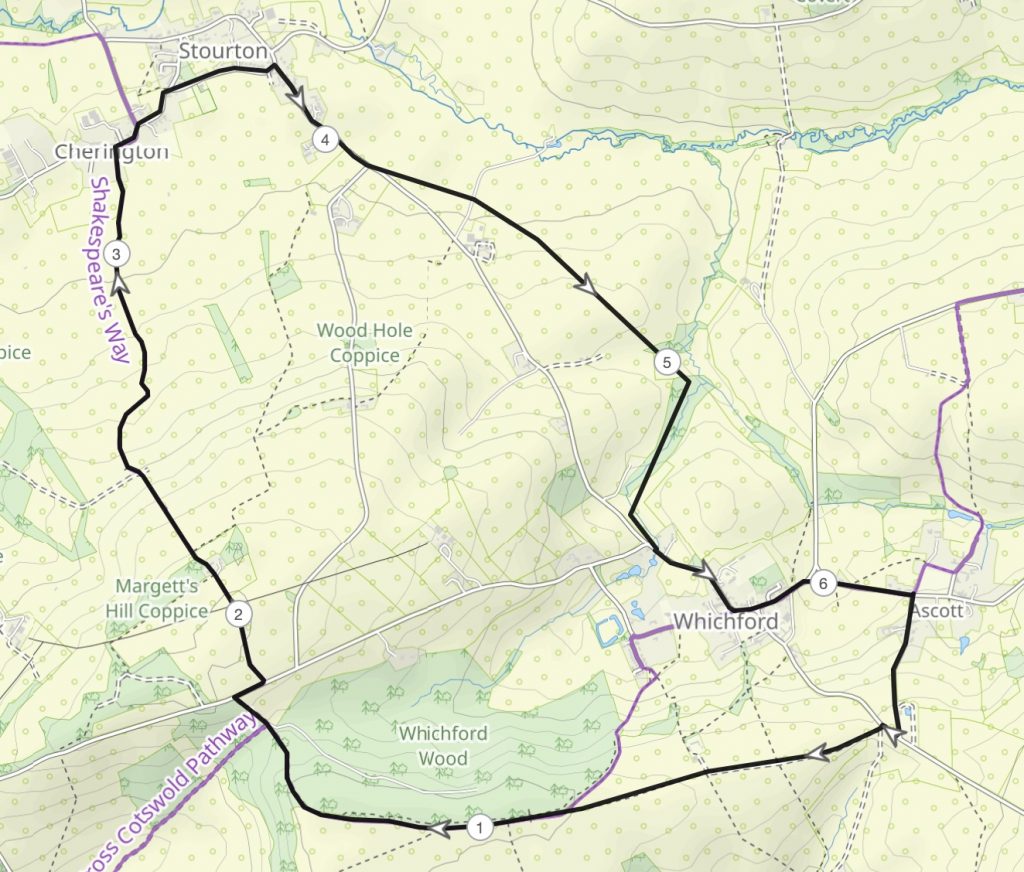
In the hot weather yesterday I walked from near Ascott in Warwickshire to the nearby village of Stourton, home of the Cotswold Distillery. As well as producing gin and whisky the distillery also houses a lovely cafe which served as my lunch stop.
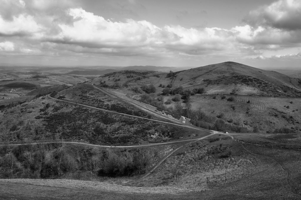
View of the Malvern Hills in Worcestershire looking towards Worcestershire Beacon and North HillView of the Malvern Hills in Worcestershire looking towards Worcestershire Beacon and North Hill – B&W Version
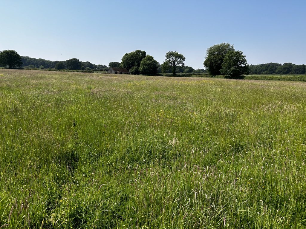
On 15 April I had a day out and returned to the Malvern Hills as I had not been there for some years.
This time I started by walking up to the Worcestershire Beacon and North Hill before returning to the car and moving it to another car park before climbing up to British Camp and the Herefordshire Beacon.
The black and white image was created in Tonality an app which has numerous presets for monochrome imagery.
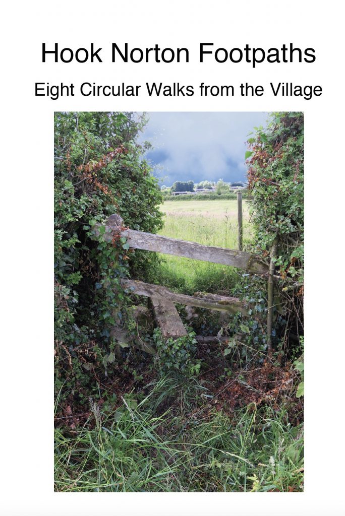
The booklet has now been published and is available from me at a cost of £4 plus P&P of £1.50. It has 48 pages with OS maps inside showing the routes. The cover is shown below.
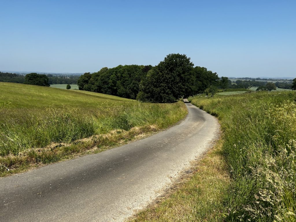
Recently I have been testing the walking routes that will be in the revised Walks around Hooky booklet the local history group are producing. Here are a selection of images from my travels.
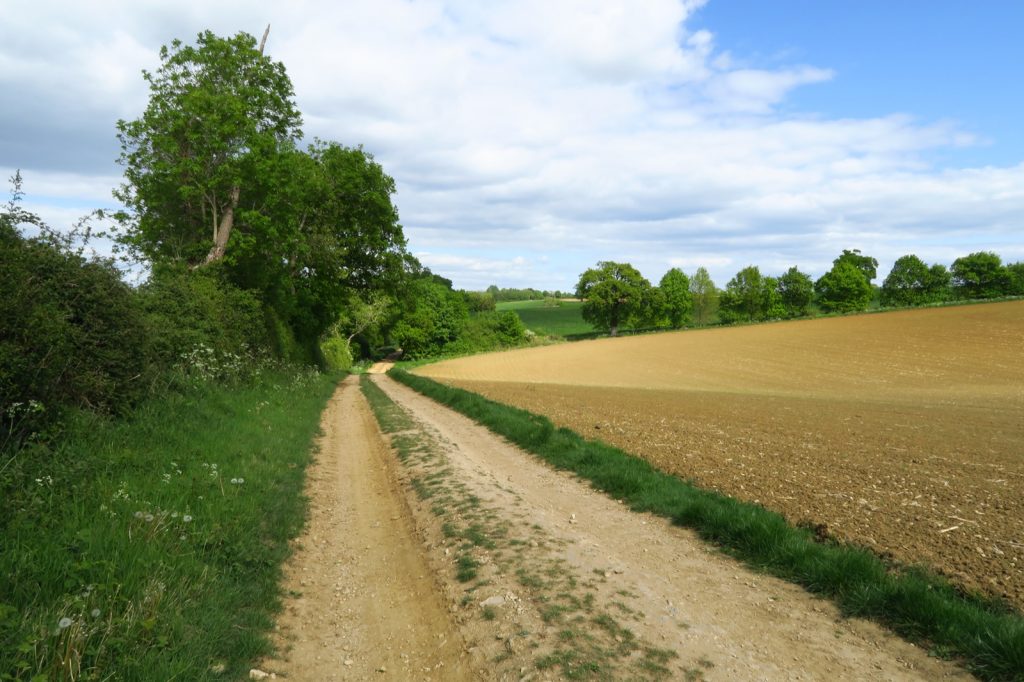
Footpath and farm track leading to Coldharbour Farm near the north Oxfordshire village of Hook Norton
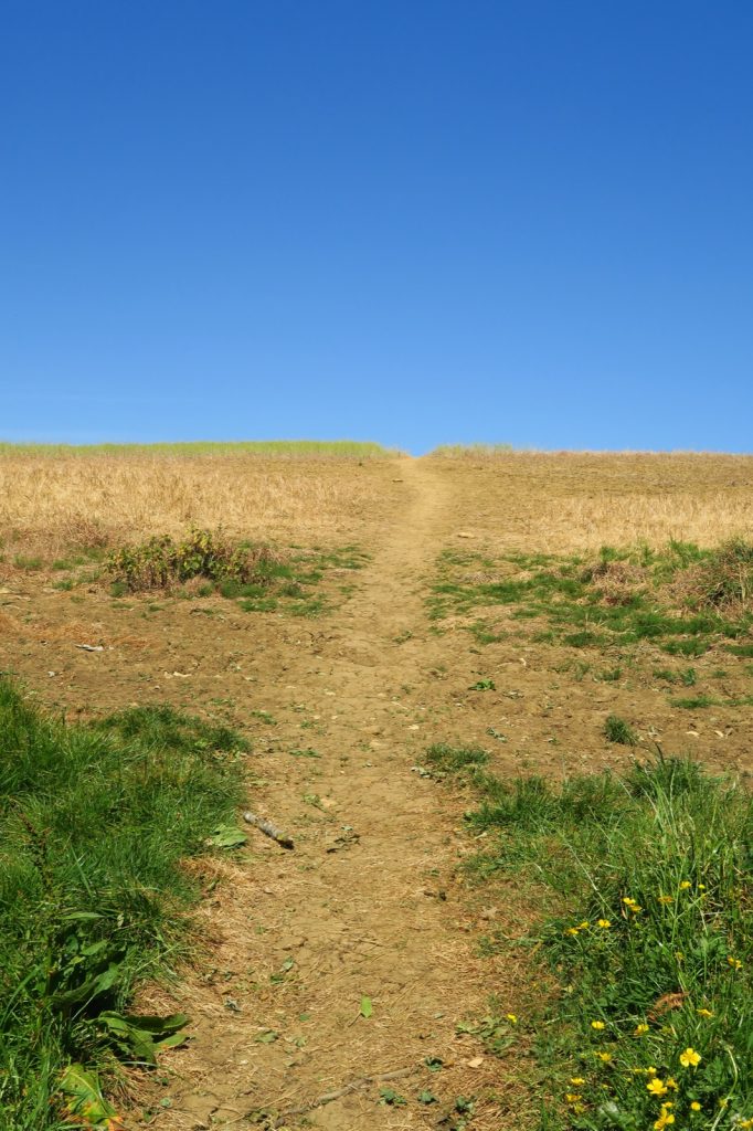
Parched footpath leading from the north Oxfordshire village of Hook Norton towards Lodge Farm
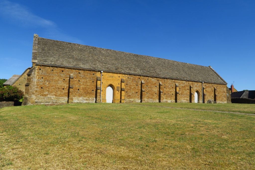
Swalcliffe Tithe Barn, a 15th century half cruck barn in the north Oxfordshire village of Swalcliffe
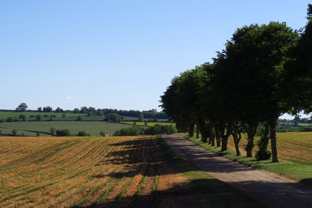
A line of trees on the side of the long distance fotpath, the d”Arcy Dalton Way near the north Oxfordshire village of Swalcliffe
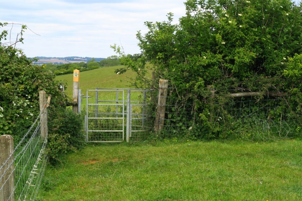
Kissing gate stile in field on a footpath near the Oxfordshire village of Great Rollright
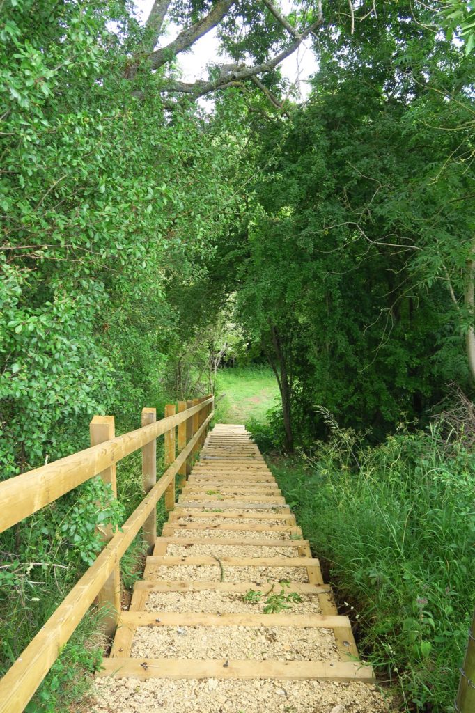
Recently installed flight of steps on a footpath by Cowpasture Farm near the north Oxfordshire village of Hook Norton
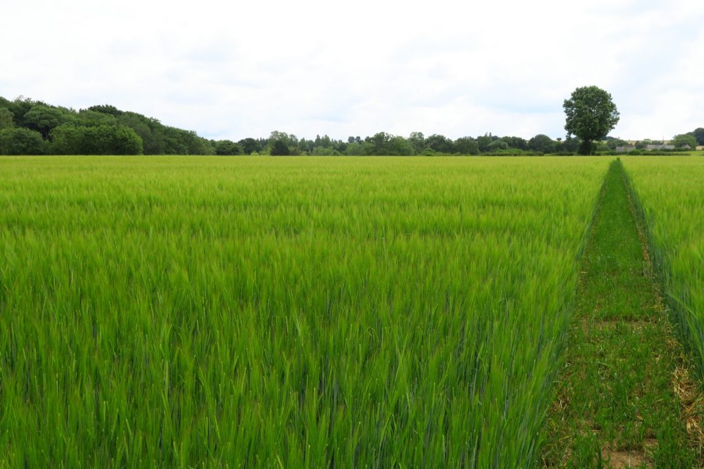
View of a footpath passing through a barley field near the north Oxfordshire village of Hook Norton